Login

Si pozabil/a podatke za prijavo?

Cookies have to be accepted!
Your browser's cookie functionality is disabled. Please enable this functionality.

Not a member yet?

Register now
Login

Available for registred users only

Log in to use this feature.

Si pozabil/a podatke za prijavo?

Cookies have to be accepted!
Your browser's cookie functionality is disabled. Please enable this functionality.

Not a member yet?

Register now
Filter
Kategorije
Advanced filters
  • Dolžina (km)
  • Metri nadmorske višine
Shrani filter Reset filter

TrackRank

QRCode

Technical data

Dolžina39,4 km Metri nadmorske višine292 m Way down283 m Trajanje01:50 h:m Datum22.04.2014
Ocene Author Pokrajina Dejavnik zabave Kondicija Tehnika

Statistika

627 Pogledi Ocene 101 Prenosi Povprečje
Rate
  • List z izleti
  • Prihod
  • Prenosi
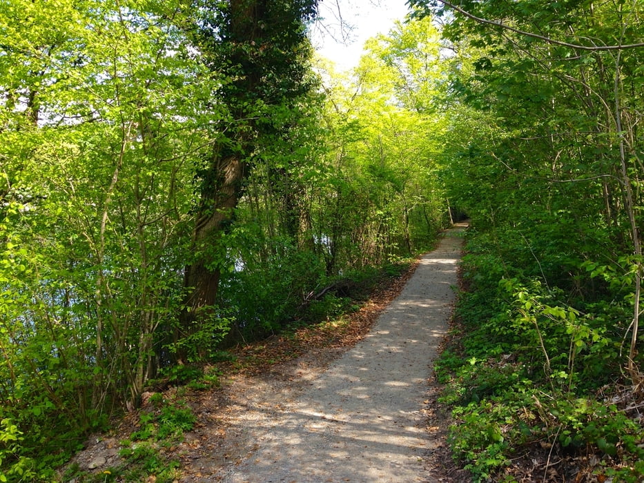
Die Tour ist sehr Abwechslungsreich, Asphaltierte Stassen, Kiesweg, Feldweg und Singletrails.

Galerija izletov

Zemljevid in višinski profil izleta

  • Open Street Map
  • Google
Minimum height 406 m Maximum height 462 m Prikaz podrobnosti

More about the tour author

Coldcut83
Member since 2014

Send private message

Komentarji

Die Route kann von Schaffhausen, Thayingen, Gottmadingen vom Bahnhof aus gestartet werden.

Poti GPS

Trackpoints
  • GPX / Garmin Map Source (gpx) download
  • TCX / Garmin Training Center® (tcx) download
  • CRS / Garmin Training Center® (crs) download
  • Google Earth (kml) download
  • G7ToWin (g7t) download
  • TTQV (trk) download
  • Overlay (ovl) download
  • Fugawi (txt) download
  • Kompass (DAV) Track (tk) download
  • List z izleti (pdf) download
  • Original file of the author (gpx) download

More about the tour author

Coldcut83
Member since 2014

Send private message
Share track
Add to my favorites
Remove from my favorites
Edit tags
My score
Rate
Izlet: Runde über Schaffhausen - Gottmadingen - Ramsen - Gailingen
Vrsta: Gorsko kolo
Dolžina: 39,4 km
Evaluated on:
Trajanje:
Day(s)
Hour(s)
Minute(s)
Ocena: Pokrajina Dejavnik zabave Kondicija Tehnika